Born from volcanoes
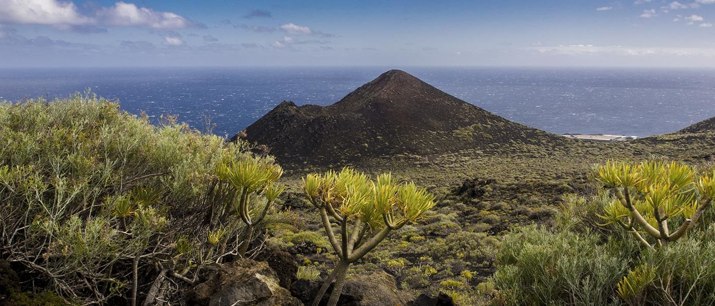
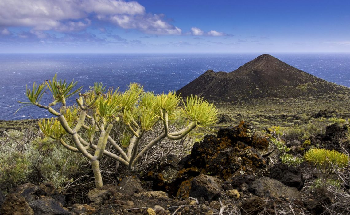
The Canary Islands are all of volcanic origin. Roughly 30 million years ago the islands began to form out of the boiling hot magma from the centre of the earth. Then just two million years ago the youngest of the Canary Islands was born: La Palma. The “Isla Bonita” was formed by an undersea volcano, which slowly grew until it emerged above the surface of the ocean.
STILL ACTIVE TODAY
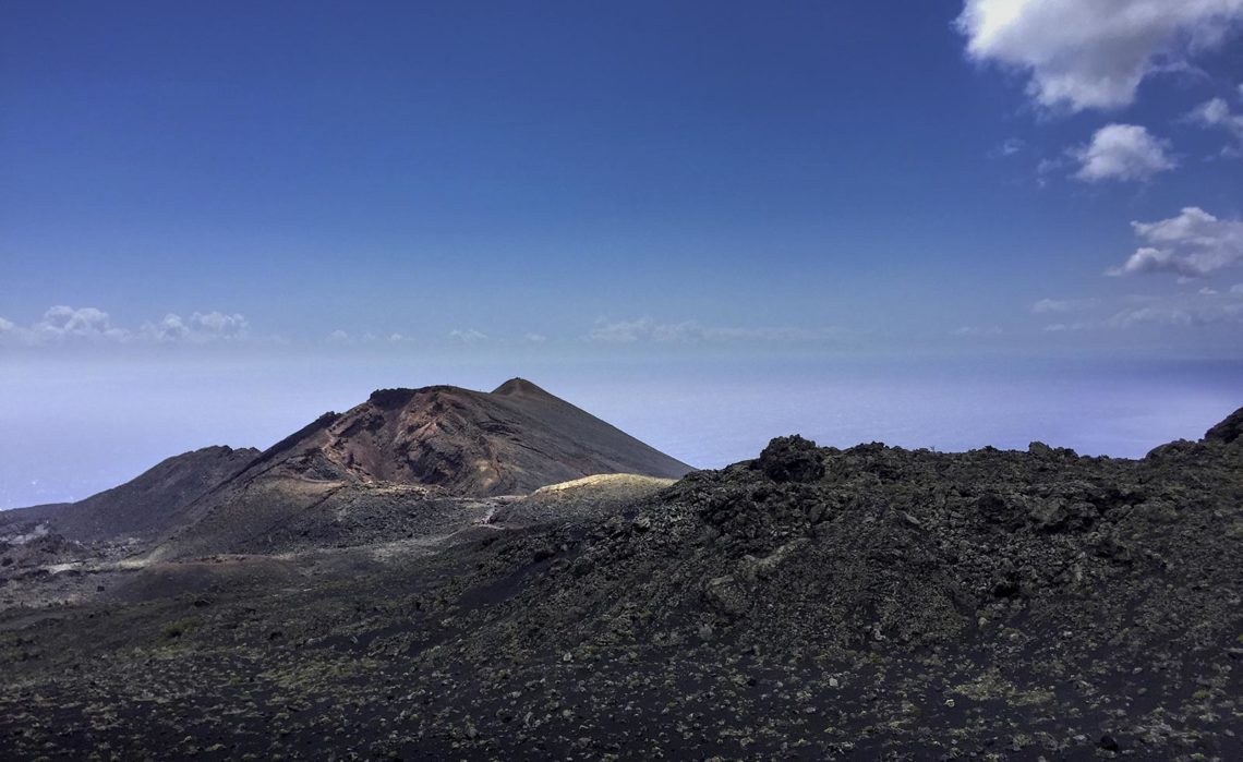
Seven eruptions were recorded over the last 500 years and all of them were classed as “moderate” by scientists. There have never been any fatalities, as fortunately the lava only flowed slowly. Therefore the last eruption of Teneguía in 1971 was almost a festival: the Palmeros gathered together to watch the eruption and even picknicked at the edge of the crater.
The volcanic spectacle lasted for three weeks, and the lava which flowed into the sea totally changed the moon-like landscape of the South. As the Teneguía is still active today, it is constantly being monitored by scientists. Its older brother, the San Antonio volcano next door, was last active in the year 1677.
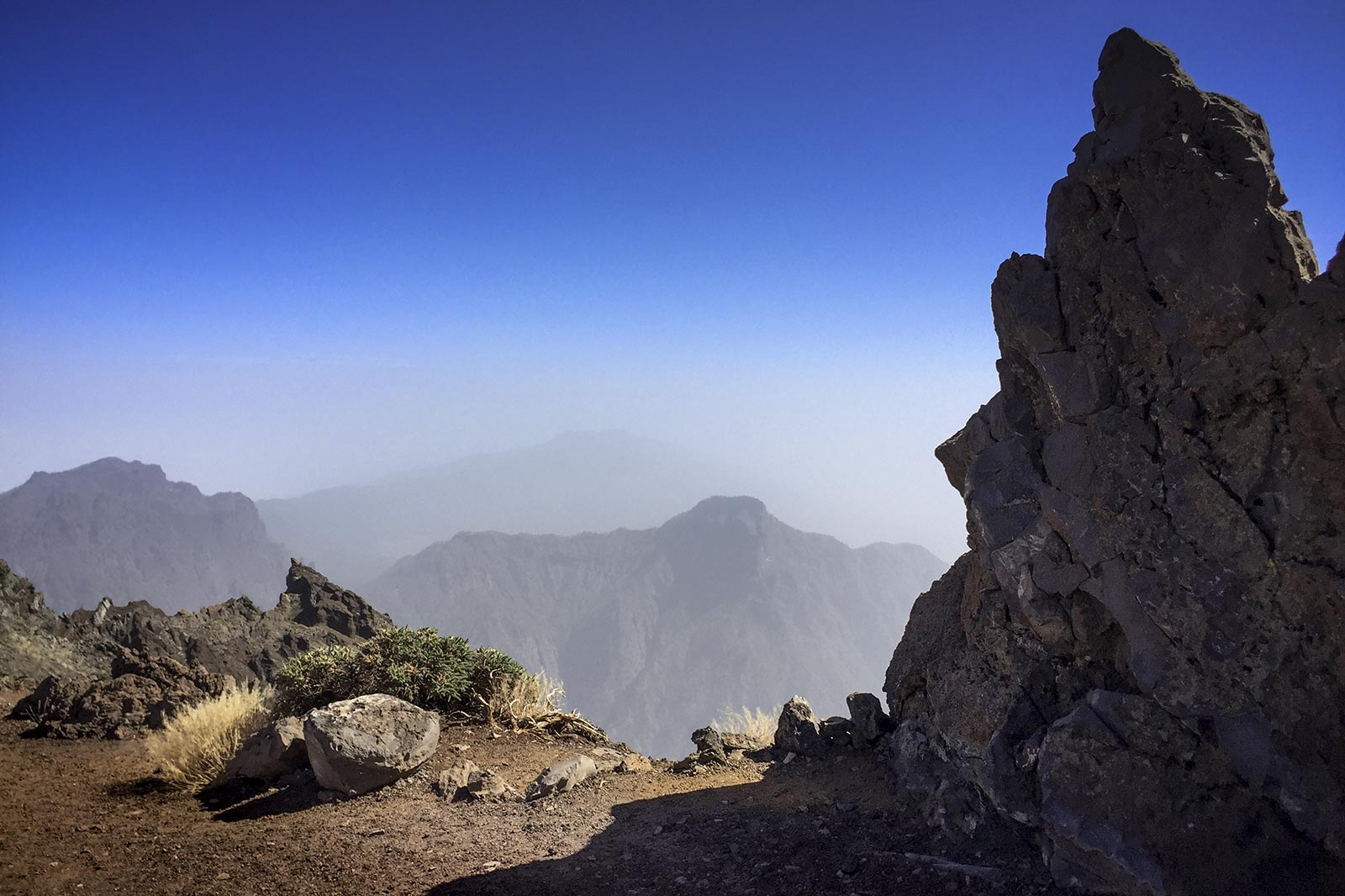
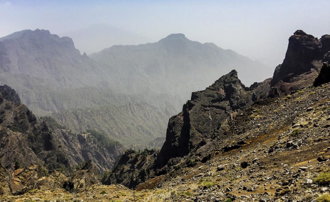
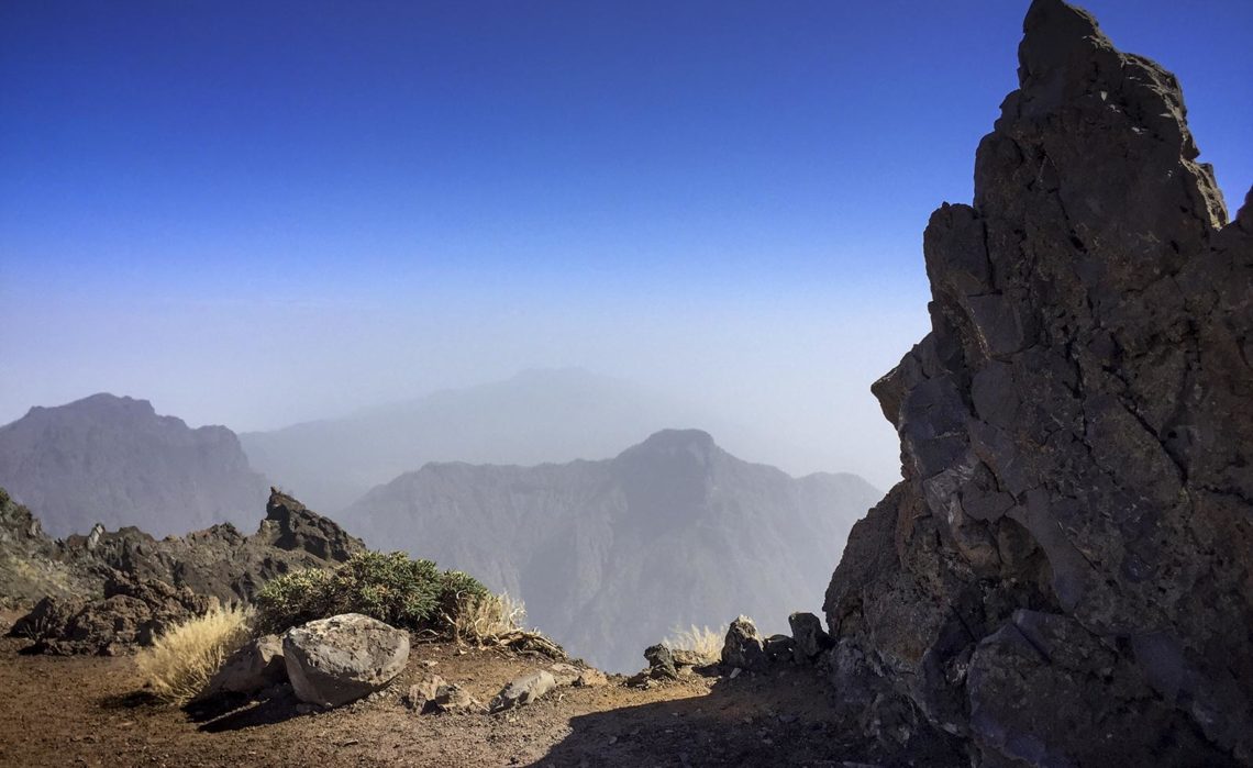
THE CALDERA DE TABURIENTE
The three largest volcanos of the island were situated in the north of La Palma and have long been extinct. So long in fact, that the wind and rain have now shrunk these giant peaks, which once rose over 3,500 metres high out of the sea, and have now become the Caldera De Taburiente. The actual shrinkage is relative however. This gigantic “cooking pot” has an enormous diameter of nine kilometres and is believed to be the largest sinking crater of the world. The Roque de Los Muchachos forms the highest peak of the volcano ruins at 2,426 metres, followed by Pico de la Cruz at 2,351 metres and the Pico de Las Nieves at 2,323 metres.
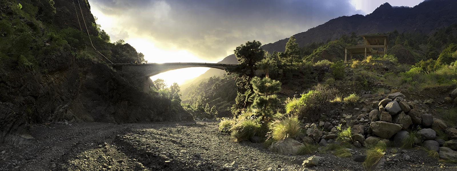
Bizaare gorges, romantic springs and waterfalls, evergreen pine forests, as well as rare plants and animals in the inner of the “cooking pot”, have all contributed to making the National Park Caldera de Taburiente a popular destination amongst walkers on La Palma. In the “Valley of the fear of death” the original inhabitants of La Palmas once put the fear of God into the conquerors. Today one can walk without danger from Dos Aguas down to Tazacorte – of course, only if it is dry. When there is a heavy rainfall, a raging river can sometimes come crashing down through the Barranco.
CUMBRE NUEVA UND CUMBRE VIEJA
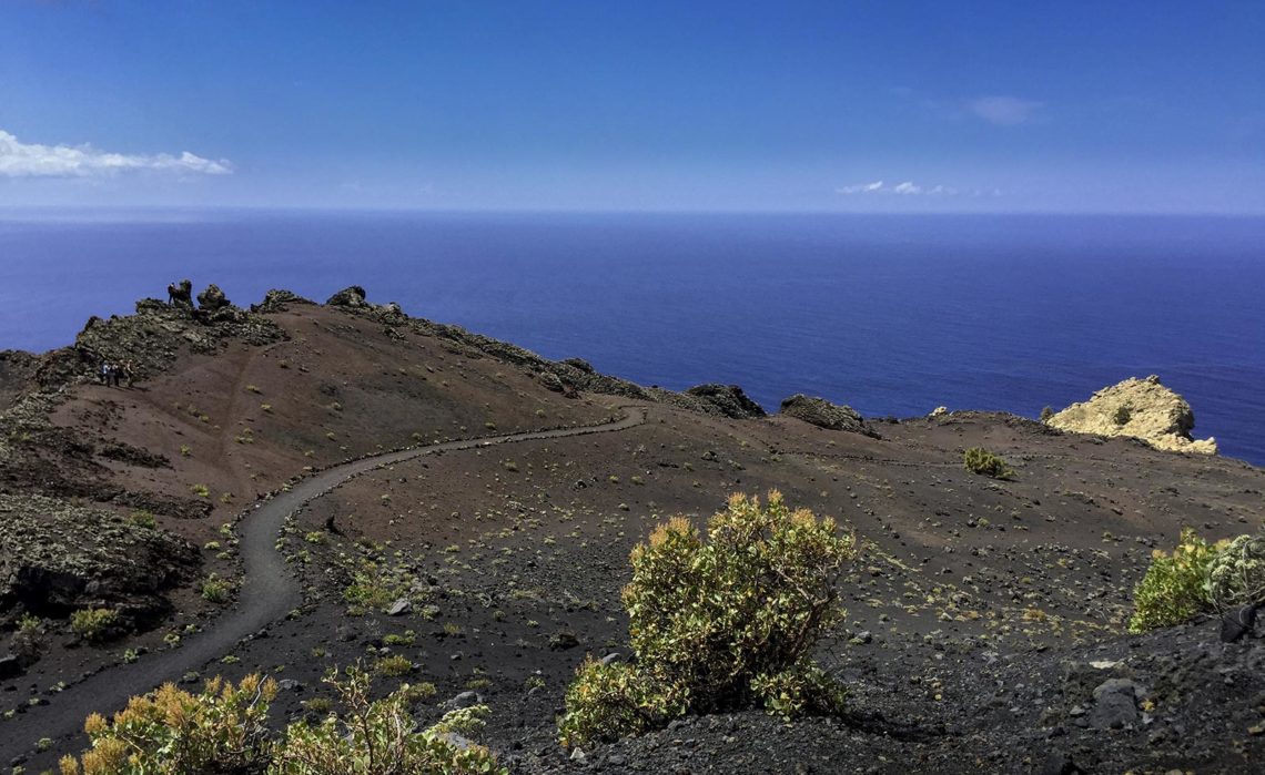
After the Caldera our hot-spot pumped along the range of the Cumbre Nueva and then along the Cumbre Vieja to the light of the world. So therefore the “new peak” – this is the literal translation- is geologically older than the “old peak”, since the volcanic chains on La Palma rose up from the North to the South. This mountain range at a height of almost 2,000 metres, is an ideal hiking area with fantastic views.
The Cumbres are therefore also the reason to “blame”, when it rains in La Palma sometimes. They form a meterological divide, which catches the Passat clouds moving from the East to the West and causing rain drops to fall. So there are green lush landscapes and flora and fauna blooming here as far as the eye can see – in the wintertime many fungus hunters even find chanterelles and yellow boletus. So it is no suprise that the Cumbres have been declared as a National Park.
![]()